
Aerial and drone photography.
Licensed, insured and flown by someone who knows the airspace here. Coastline, property, marina and construction progress, from the altitude that actually explains the place.
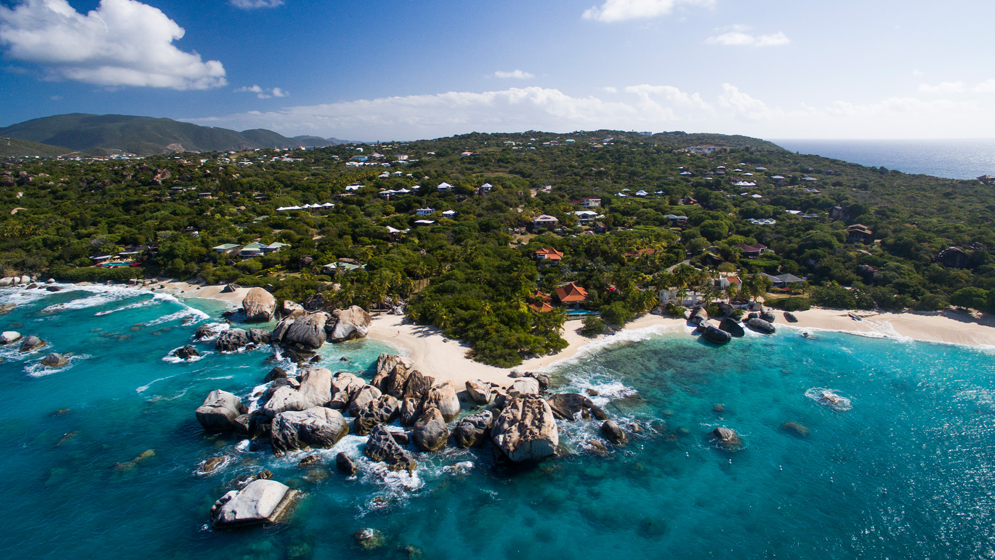
What aerial coverage covers.
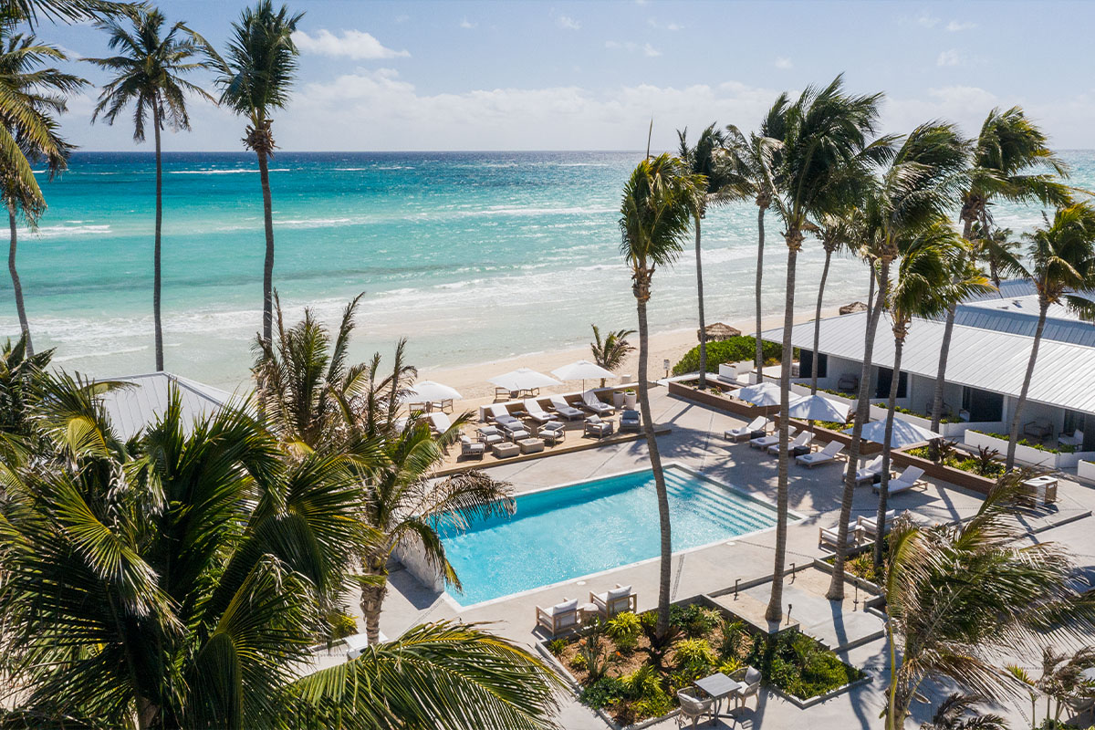
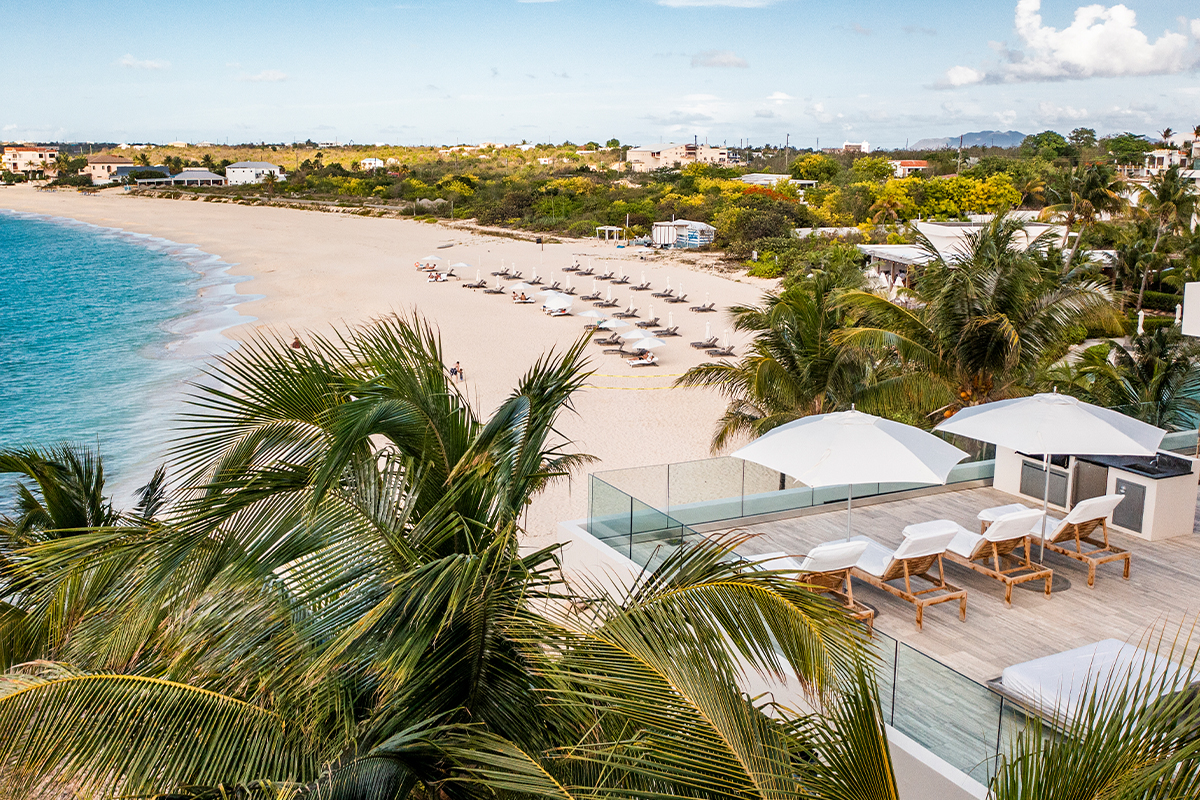
Property and setting
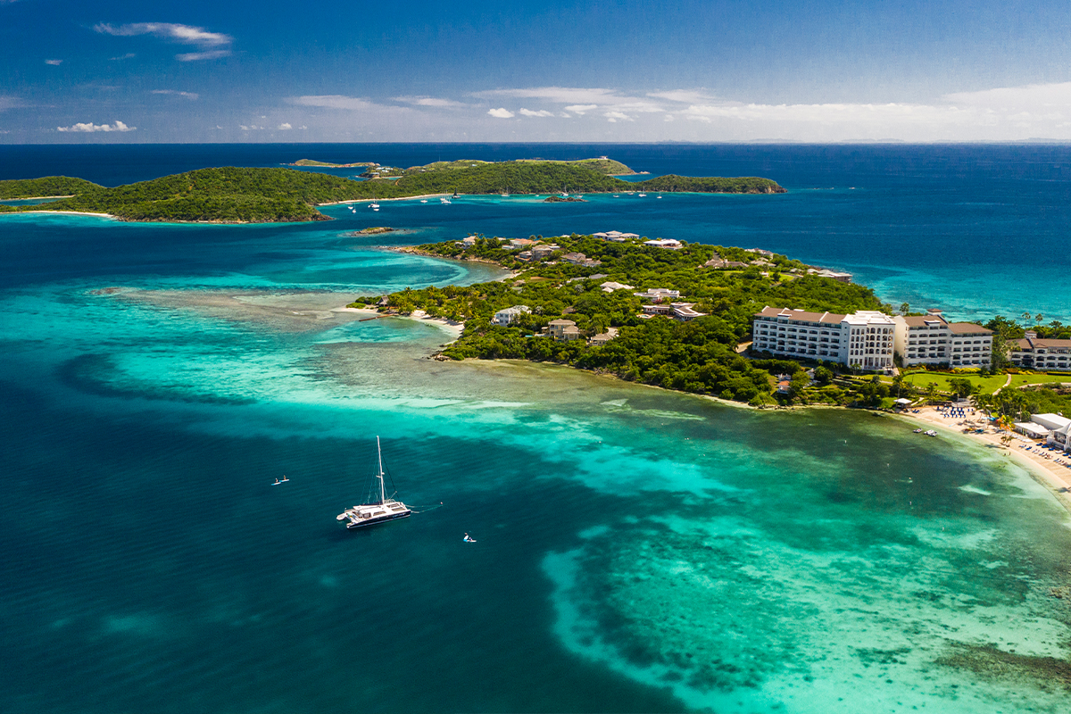
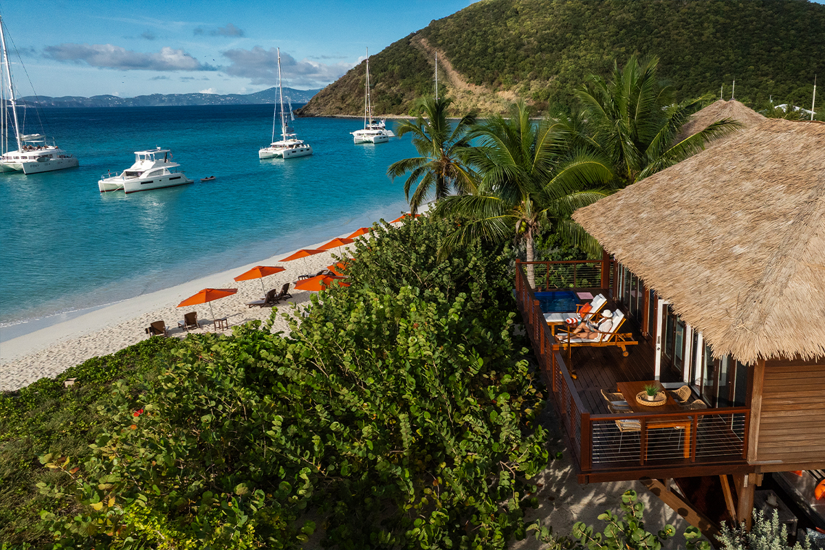
Where a property sits relative to beach, town, water and neighbours. The context a ground shot cannot give.
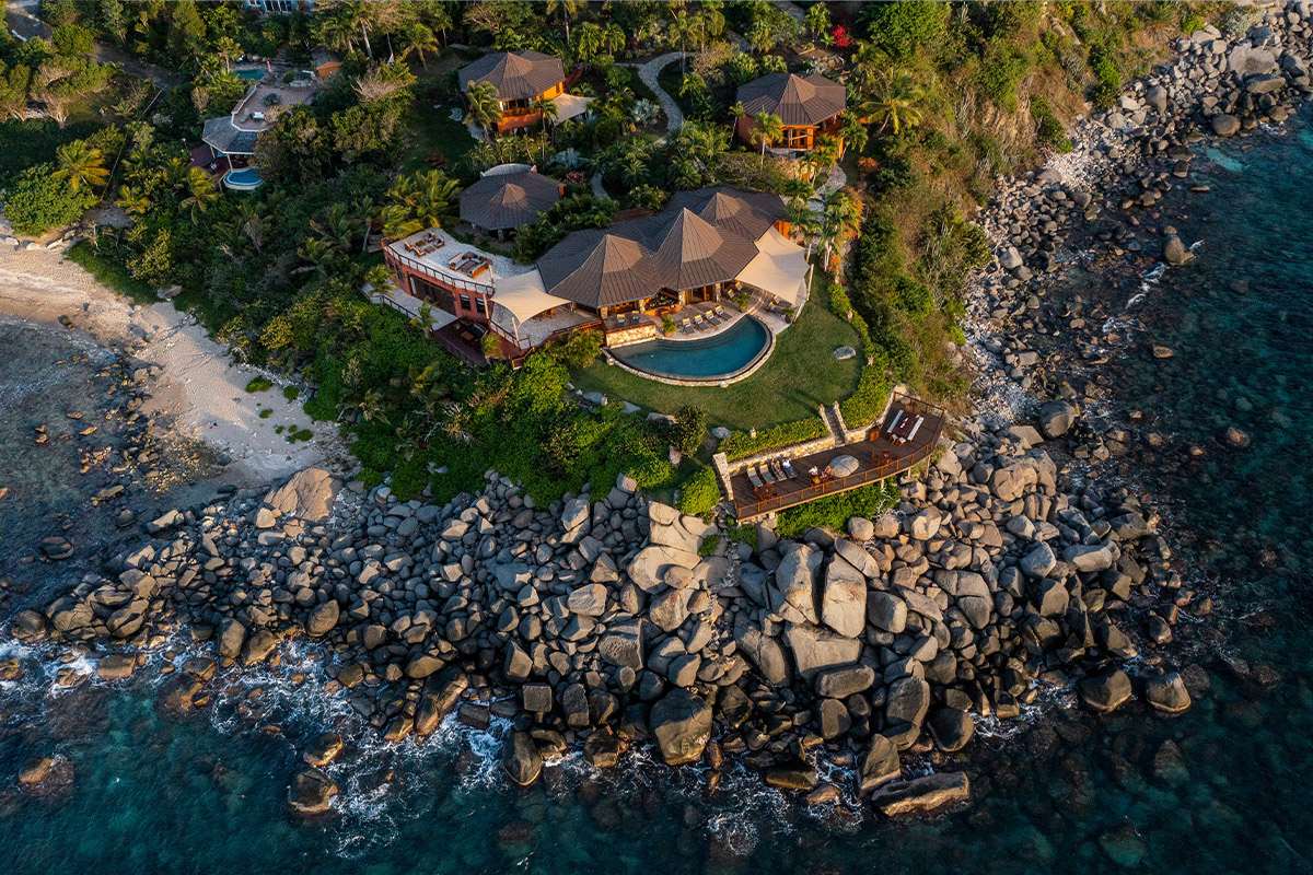
Coastline and approach
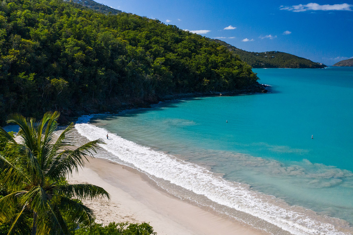
Bays, reefs and shoreline. What a guest sees as the ferry comes in.
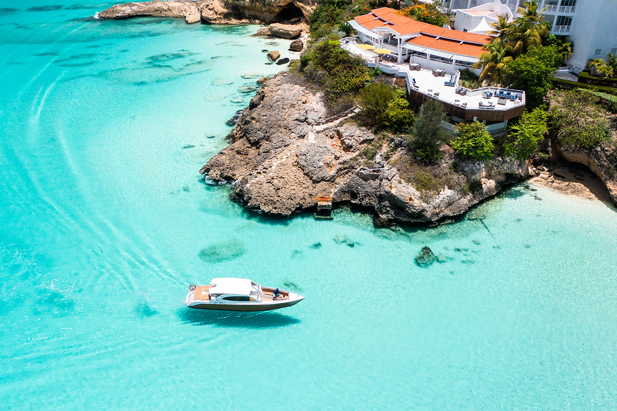
Marina and vessels
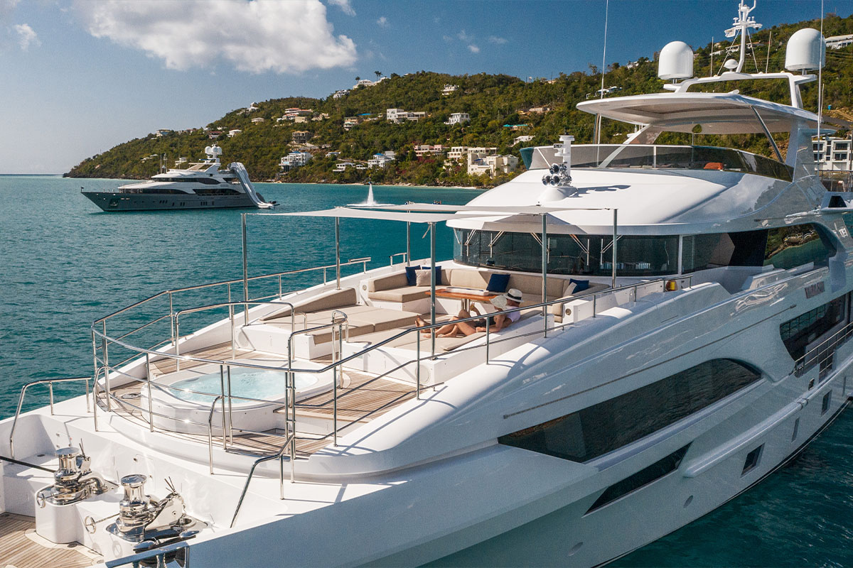
Boats at anchor, underway and under sail, from angles no boat can reach.
Construction progress
Sequential documentation for developers, contractors and civic projects.
Orthomosaic and mapping
Stitched top down imagery for planning, survey support and site records.
Video included
Aerial stills and motion from the same flight, if you want both.
From above.
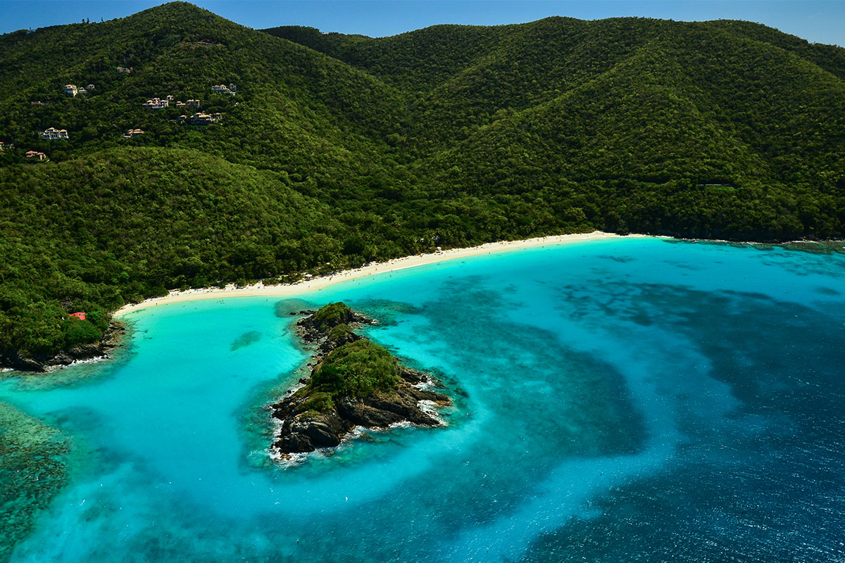
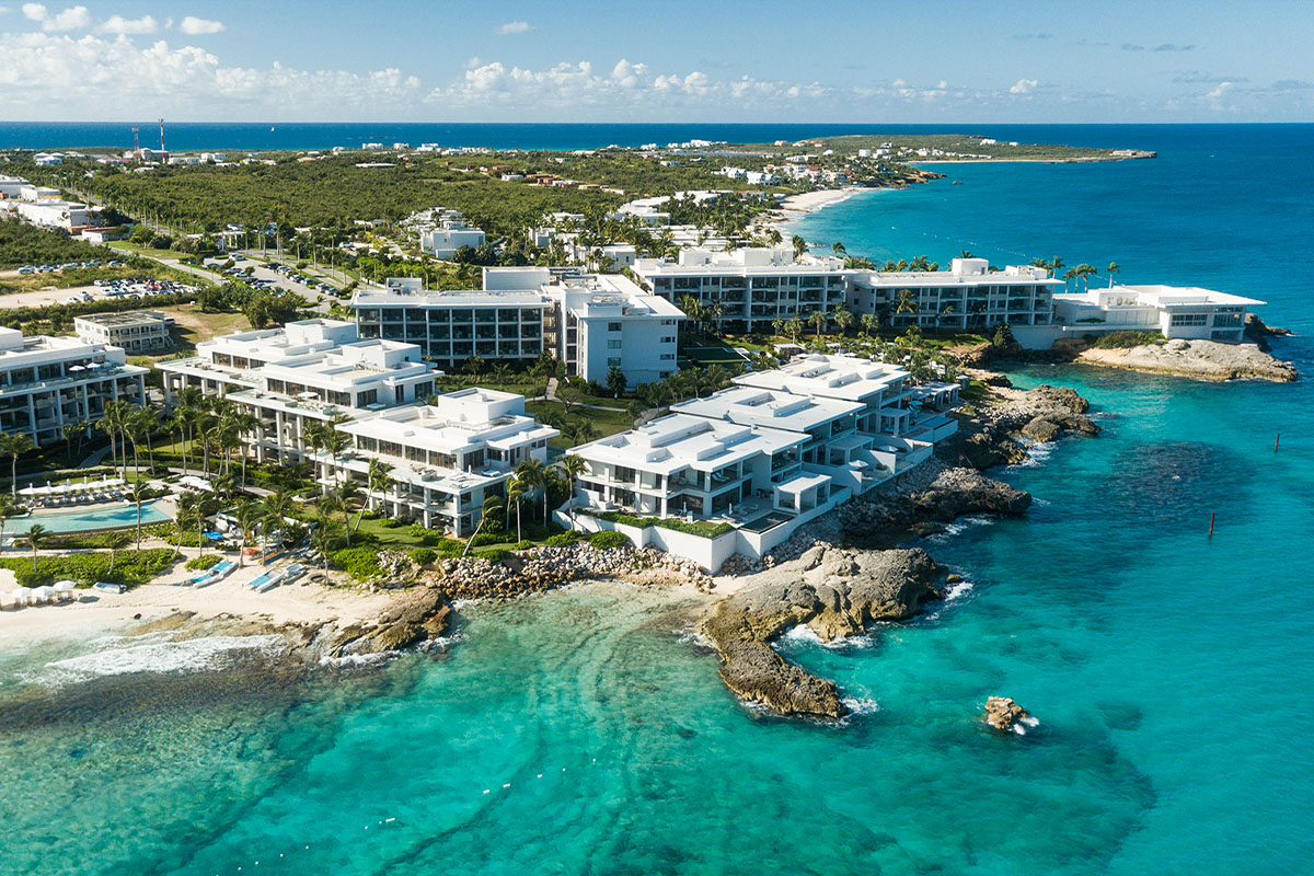
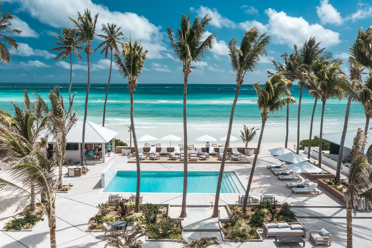
How a flight runs.
Check airspace
St. Thomas has controlled airspace around the airport and the seaplane base. We handle authorisation before the day.
Plan the flight
Altitude, angles and sun position agreed in advance so we are not improvising on a limited battery.
Fly the site
Multiple altitudes and passes. Typically one to two hours on site depending on coverage.
Deliver in 48 hours
Graded stills and, if booked, motion. Full resolution plus web and social sizes.
Aerial & drone photography, answered
Yes. Commercial drone work in the U.S. Virgin Islands requires FAA Part 107 certification and we hold it, along with liability insurance.
Much of St. Thomas sits in controlled airspace. Authorisation is usually obtainable but takes lead time, so tell us the location early.
Yes, with the appropriate BVI permissions. That takes longer to arrange than USVI work, so plan for extra lead time.
Trade winds here are real. We monitor conditions and will move a flight rather than deliver unstable footage.
Pairs well with
Need coverage from the air?
Send the location and we will check the airspace before you commit to a date.